
Roadside LiDAR Dataset
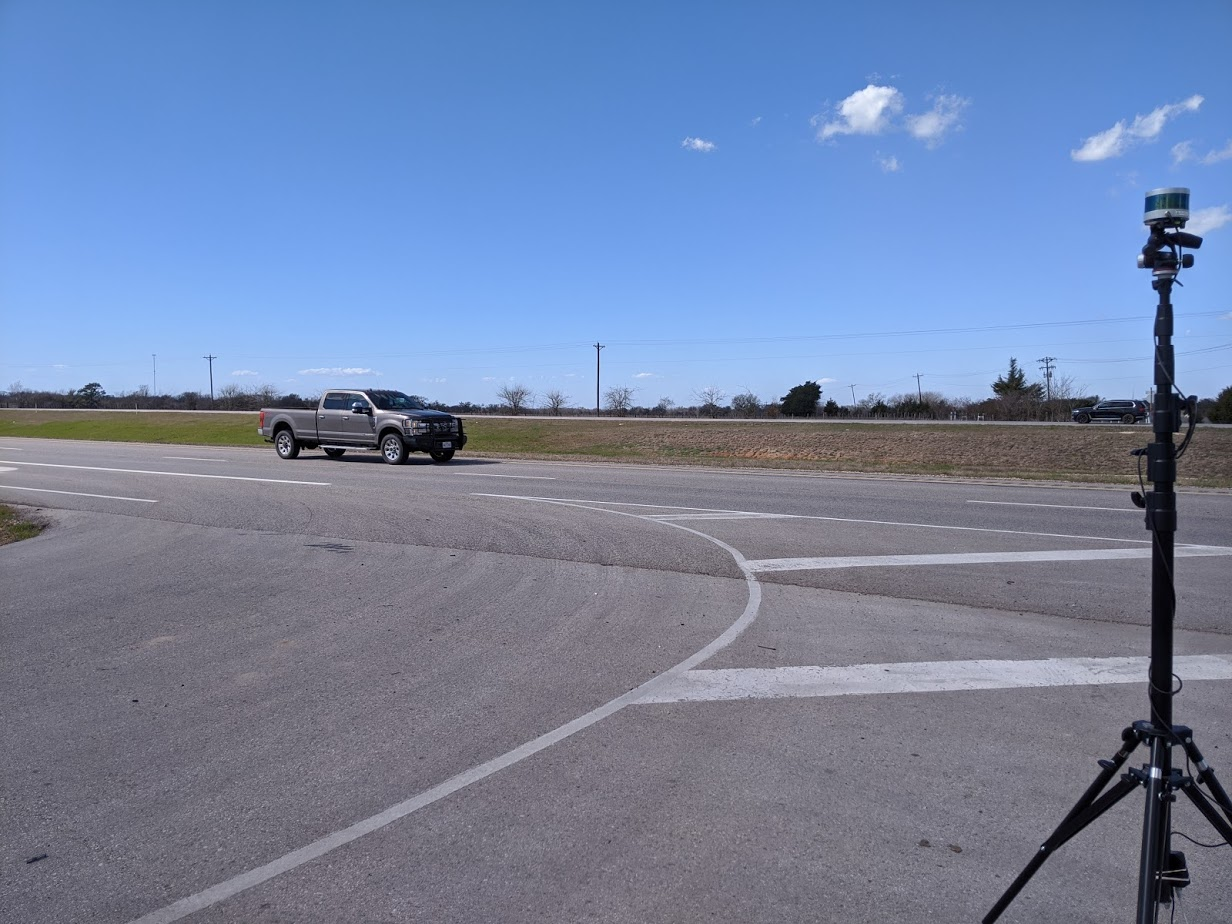
A roadside LiDAR dataset both in urban and in highway environments with annotated vehicles. This dataset corresponds to the dataset described in “Building a Smart Work Zone Using Roadside LiDAR”. Our dataset contains two ~10 minute segments on a urban (45 mph) and highway segment (75 mph), consisting of >1000 frames labeled of measurements taken with a Velodyne VLP-16. The dataset format is as follows:
- Raw (unprocessed ROI filtering) rosbags
- Bird’s Eye View projection images of LiDAR data
- Labels in
.csvformat for each image
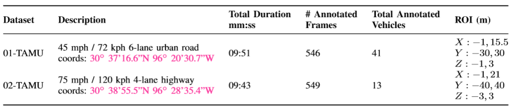
The table below summarizes the dataset:
Citation:
@misc{darwesh2021SWZ,
      title={Building a Smart Work Zone Using Roadside LiDAR
      author={Darwesh, Amir and Wu, Dayoung and Le, Minh and Saripalli, Srikanth},
      year={2021},
      journal={IEEE Transactions on Intelligent Transportation Systems},
      publisher={IEEE}
}